Torongan Cave
Santa Lucia (Kauhauhasan), Itbayat, Batanes
There are too many monickers given to Batanes. Some call it as “The Home of the Howling Winds”, others hailed it as “The Land of Ivatans”, “The Highway of the Storms” or “The Land of True Insulares”. But there is another name that best describes the province – “The Northernmost Frontier”.
Situated in between Balintang and Bashi Channels, Batanes is the northernmost province of the Philippines. It is composed of ten islands and islets that are scattered on the roaring water that separates the mainland Luzon and Taiwan. Of the ten, only three islands are inhabited – Batan, Sabtang and Itbayat.
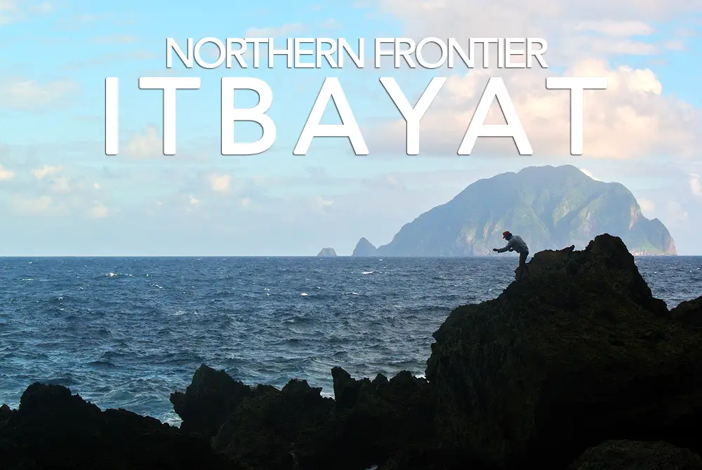
Itbayat, the largest island in Batanes group happens to be northernmost inhabited island in the country. It is unique in the sense that majority of its shoreline is elevated. In fact, it is believed that the entire island is an uplifted coral reef.
Going to Itbayat is an adventure on its own. The faluwa (a traditional boat) ride from Basco takes at least two-and-a-half hours on calm seas and an average of four to five wild hours during monsoon season. An adventure that will be rewarded by the distinct charm and beauty of the island.
This is the Torongan Cave’s opening fronting Philippine Sea and overlooking the uninhabited Dinem or Diogo Island, one of the attractions of Itbayat.
Check out my Batanes Travel Guide for more information on this beautiful province.