Biri Island
In between San Bernardino Strait and the vast Pacific Ocean is the northernmost island municipality of Northern Samar – Biri!
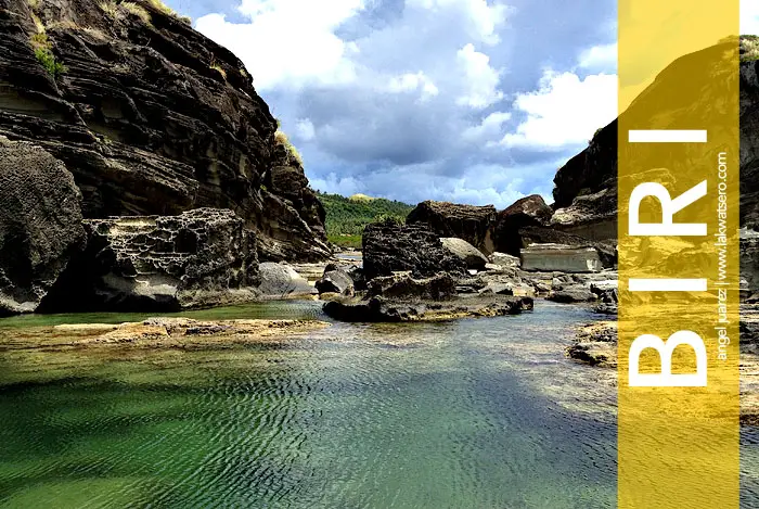
Biri is a typical laid back Philippine island, rural and quaint. Its coast is rugged yet scenic, its water is wild yet bountiful. Locals live in a slow paced quiet life on the background of the continuous roaring of waves. What makes the island popular are the seven massive rock formations that dot its northern coast – Magasang, Bel-at, Magsapad, Caranas, Macadlaw, Puhunan and Pinanahawan.
A study by National Institute of Geological Sciences Research of UP Diliman reveals that these rock formations were deposited 18 to 24 million years ago in shelfal continental slope and formed by the underwater tectonic plates movement generated by earthquakes. Today, these imposing rock formations of Biri are towering icons of the island, magnificent wonders created by nature itself.
Let this slideshow take you to Biri Island, a place that truly rocks!